UK Snow Forecast: Colder Spells Expected Ahead
The United Kingdom is bracing for a potential shift in weather patterns as forecasters predict a colder spell moving in towards the end of January and into early February. The upcoming change comes after a period of wet and windy conditions that are expected to dominate the next few days.
According to the latest updates from the BBC Weather team, the UK will find itself in a battleground of mild and cold air as the week progresses. This atmospheric clash could lead to an increased chance of sleet and snow in certain areas, though details remain uncertain at this stage.
Wet and Windy Conditions Ahead
Before the colder conditions take hold, the UK can expect another round of wet and windy weather. Low pressure moving in from the south-west is set to bring heavy rain and strong winds, initially impacting the western half of the British Isles. By midweek, these conditions are expected to spread across the entire country.
The Met Office has issued various weather warnings to prepare the public for the incoming weather. A yellow warning for wind has been issued for south-west England on Tuesday, while a heavy rain warning is in effect for eastern Scotland from Wednesday into Friday.
When Will the Colder Air Arrive?
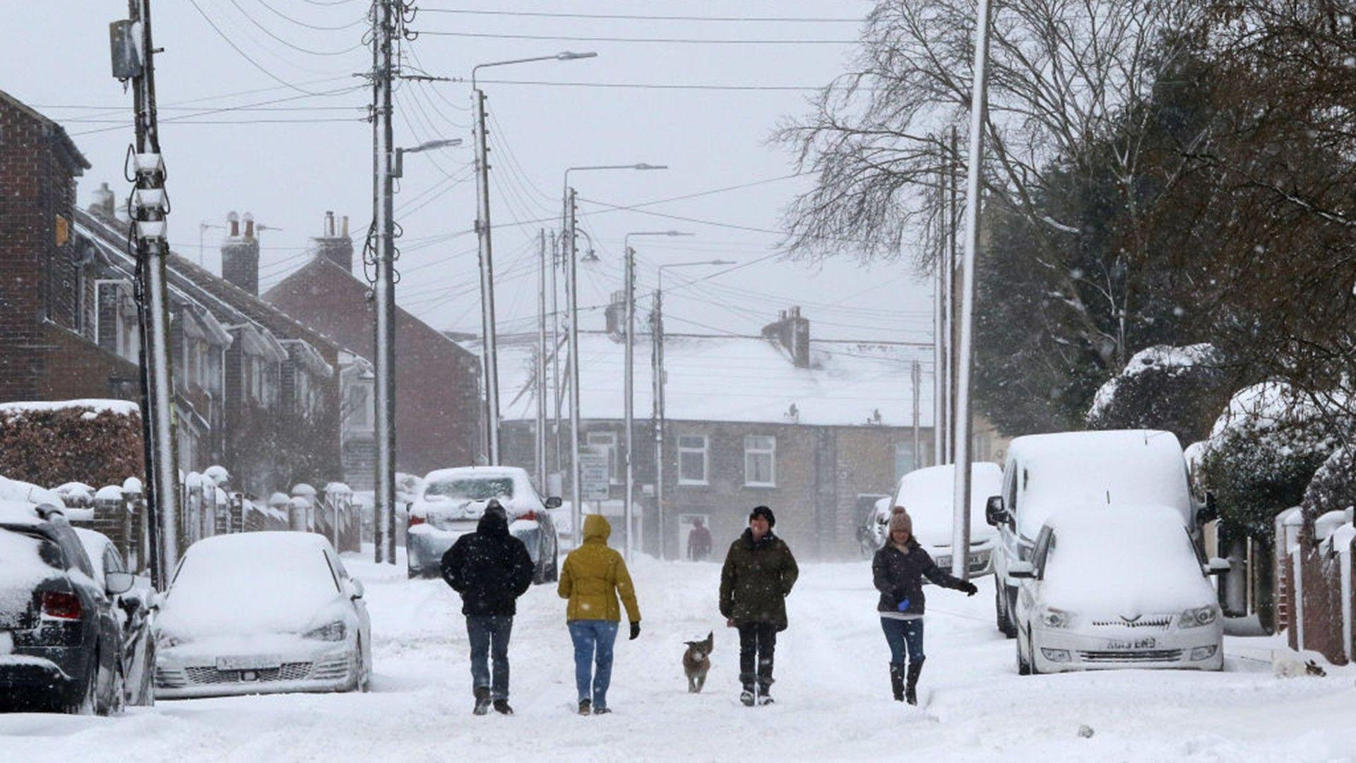
Slightly colder weather is anticipated across northern areas starting Thursday and continuing into Friday. Some snow is likely over high ground in Scotland, particularly across the Grampians and Highlands. For most areas, temperatures are expected to remain around the January average for the rest of the week before falling below average over the weekend and throughout the final week of January.
Several longer-range weather forecasting models are beginning to agree that temperatures will drop more widely towards the end of the month. However, the change will not be clear-cut. With high pressure expected to the east and lower pressure to the west, the UK will lie on the boundary between cold and mild air.
Forecasting Snow in the UK
Forecasting snow in the UK is rarely straightforward due to the country's location as an island nation on the edge of a large continent. Most commonly, the UK's weather arrives from the west, moving in from the relatively mild Atlantic. However, during winter, winds from the Arctic or Siberia can bring spells of cold, snowy weather.
The difference between precipitation falling as rain, sleet, or snow can be dictated by a change of just a degree or two. This means that forecasters often won't firm up on any snow details until a few days in advance.
Preparing for Potential Snowfall
As the potential for snow and colder conditions looms, residents are advised to stay informed and prepare accordingly. Keeping an eye on the latest weather updates from the BBC Weather team and the Met Office will be crucial in the coming days.
Historical precedents, such as the 'Beast from the East' of 2018, serve as reminders of the impact severe winter weather can have on daily life. The event brought heavy snowfall and freezing temperatures, causing widespread disruption across the UK.
Conclusion
While the exact details of the upcoming weather remain uncertain, the potential for a colder spell and snowfall is something to watch closely. Stay tuned to official weather forecasts and prepare for any changes that may occur. The coming weeks could bring significant shifts in weather patterns, so staying informed is key.